
- Country: Lisbon
- Categories: Maps & Navigation
- Year: 2020
CycleAi
CycleAl is on a mission to empower micro-mobility users for their safety through Al. Active mobility is of utmost importance to the sustainable cities of the future, although the modes are generally not perceived as safe. We place the safest and most reliable routes at people's fingertips!
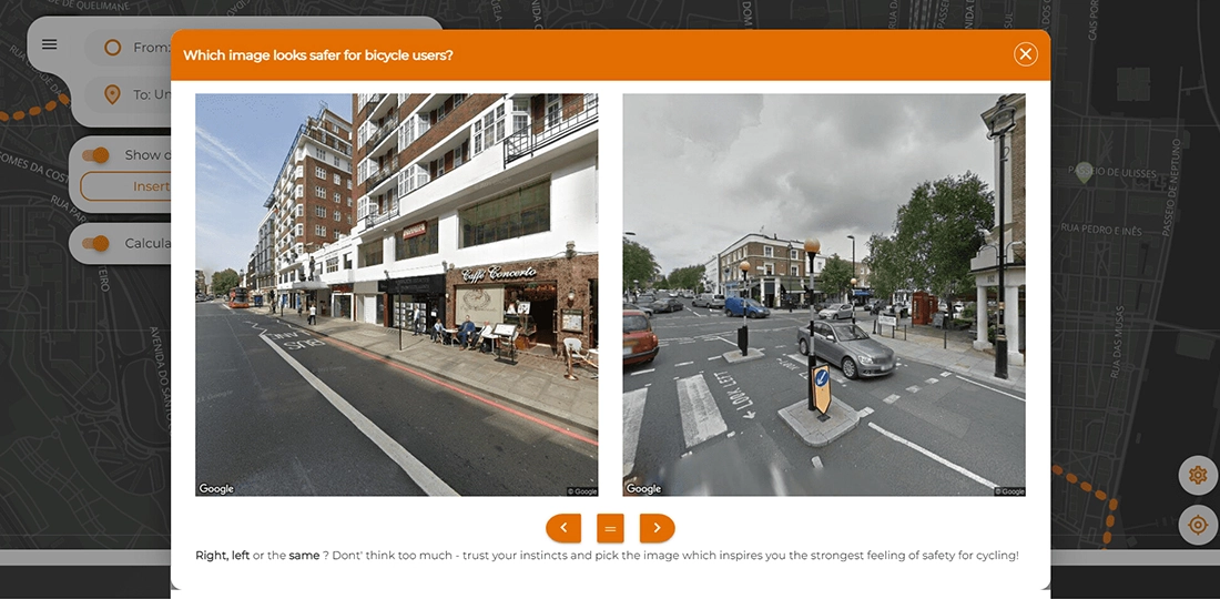
The application's feature involves enhancing bicycle route navigation using user-generated data. Users have the ability to choose and save images of routes they consider safer for bicycle riders. The application utilizes this data to refine its route algorithm, resulting in improved accuracy and safety for subsequent bicycle journeys.
Module Details
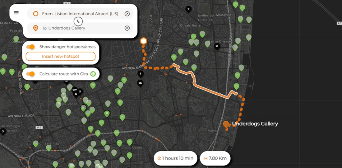
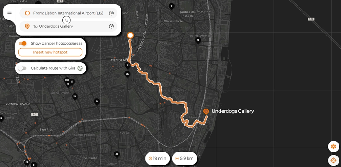
Calculate routes
Users enter two different locations and the app calculates a route between that points.
Show dangerous area
By enabling this option user will display dangerous areas in a particular area
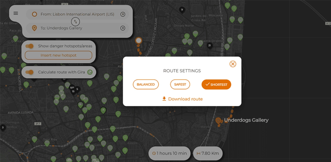
Route setting
Users can select their route settings as balanced, safest, and shortest based on user preference
Gira Route
This functionality will display bicycles available in a particular area
Dark and Light map
The map theme will be changed based on day/night timing
Insert new hotspot
Users can enter a new dangerous point with text

Visual view of CycleAi

WeServe Codes is a trusted software development company offering next-generation software development solutions customized to your unique business needs.